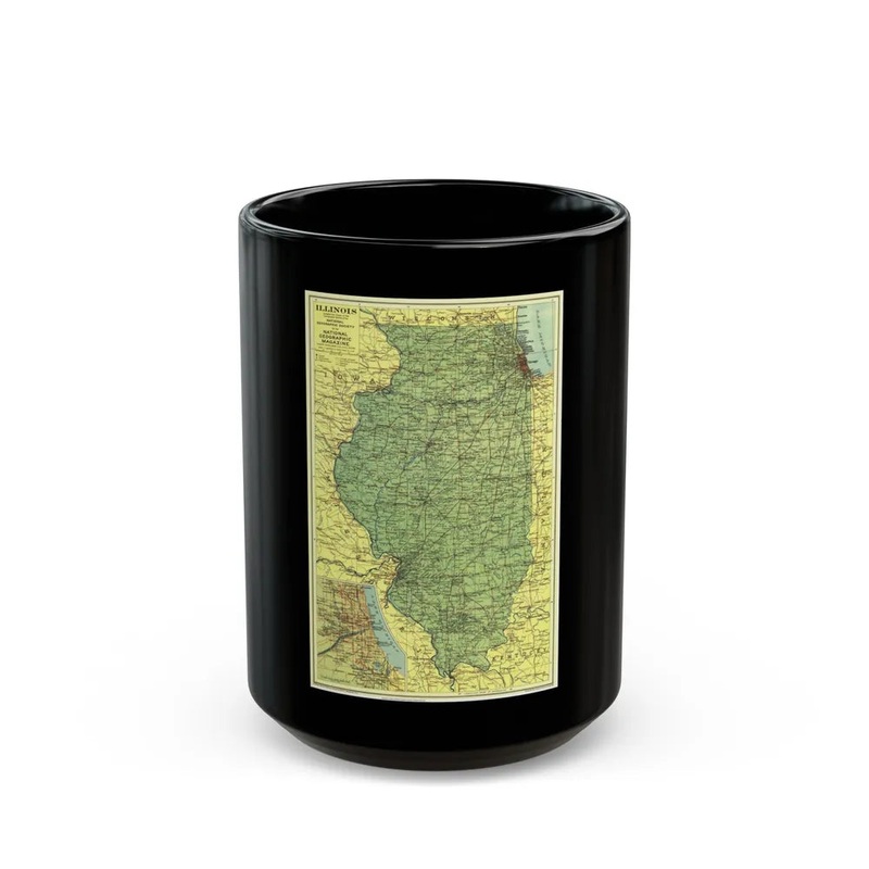
USA - Illinois (1931) (Map) This item represents a historical map of the state of Illinois, United States, published in 1931. The map provides geographical details such as cities, towns, rivers, highways, and railroads within Illinois during that period. It serves as an essential resource for understanding the spatial context and physical features of Illinois in the early 20th century. This antique map is a valuable piece of historical cartography, offering insights into the geographical, economic, and social aspects of the time.
